
Tracing a Genoa Township Street
Genoa Township sits in Livingston County, where the county property system, parcel map, and Register of Deeds form the main address trail. An owner entry is a property-record lead, not proof that every person at an address lives there. The strongest Genoa Township street work keeps the parcel number and legal description beside the common street address, because older instruments may use lot, block, subdivision, township, range, section, or metes-and-bounds language instead.
Use the same address keys in each Genoa Township stop. The property result supplies the present-facing parcel context. The map explains where that parcel sits. A deed connects a recorded buyer or seller to the land. Voter material and old directories have different access rules and different limits, so they should not be treated as a street-wide household roster.
- Run the street number and name in Livingston Property Search, then record the owner field, situs address, mailing address, parcel number, and legal description actually displayed.
- Open the Livingston County GIS Interactive Parcel Viewer, select the matching suggestion, and click the parcel to compare its address, acreage, and property-summary link.
- Search the current owner as a grantee or To Party in the Livingston County Official Records search, using the legal description and recording details to confirm the land.
- For registration questions, use the Michigan Voter Information Center for its intended person and registration purpose, or ask the local clerk about a lawful QVF records request. It is not a public street-browse tool.
- For an older household clue, check available directories, telephone books, plats, and archive material by historical owner name, road, post office, and legal description.
Note: Genoa Township has no verified public web search that lists all voters or all occupants along a road.
Genoa Township Street Directory Property Search
The county property search is the first practical stop for a Genoa Township street directory. Its form is built around alternatives, not a single broad resident box: owner, parcel, or address can begin the search. Select property type and active or retired parcel status first when useful, then add a surname, a street number, a range, a street name, and the City/Township/Village field. A range can cover up to 1,000 numbers, and a result list stops at 50, so a long Genoa Township road often needs smaller number ranges or a municipality filter.
A returned Genoa Township parcel card may show the owner name, tax mailing address, situs or property address, parcel identifier, legal description, valuation fields, exemptions, and a detail link. The local unit remains the contact for current owner or address information because it supplies periodic updates. No stable historical start year is published for the online property record, so treat it as a current-facing parcel source rather than a dated occupancy file.
| Search field | County tool | Use and limit |
|---|---|---|
| Property type and active status | Property Search | Choose Real, Personal, or Other and Active or Retired before narrowing a result. |
| Owner last and first name | Property Search | Useful for a known owner; common names need a municipality, street, type, or parcel filter. |
| Street number, range, and name | Property Search | Address route for a road search; ranges cannot exceed 1,000 numbers. |
| City/Township/Village | Property Search | Use Genoa Township to distinguish a countywide address result; this is not a ZIP field. |
| Parcel ID | GIS viewer | Enter dashes and omit county code 47, unlike the county-coded format shown in the property system. |
| Subdivision or condo name | GIS viewer | Autocomplete can target a mapped community label when the street name is not enough. |
Genoa Township parcel cards distinguish the physical situs from the address that receives tax correspondence. A mailing address can belong to an agent, lender, estate, business, or another home. A homestead indicator is tax evidence that may fit owner occupancy, but it cannot establish who is currently in a household.
Browsing Genoa Township Streets in GIS
The GIS viewer gives the map context that a property list cannot. Genoa Township searches can use address number, prefix, street name, suffix, owner name, parcel ID, subdivision or condominium name, or all available categories. Owner-name forms include First Last, Last, First, and Last First. Suggestions stop at 15, so a broad name result can hide a match that a more exact spelling or address search will reveal.
After choosing a Genoa Township suggestion, zoom to the parcel and click it. Most popups show the parcel ID, property address, acreage, and a link to the Property Summary Page. Layers can show parcels, roads and address points, voting precincts, commissioner districts, school districts, and public-safety or hazard information. Zoom affects visibility. Print, measure, and draw tools help read the map, but they do not create a certified boundary or a title determination.
INSIDER TIP. Genoa Township searches can fail because the two county tools use different parcel-number formats. The property portal displays the county code 47 in its structure, while GIS expects the ID without 47 and with dashes. Preserve both versions with the address before switching tools.
Road centerlines and address points support E9-1-1. County road centerlines update monthly, while new parcel splits are added several times a year. A Genoa Township road line can therefore be more current than a parcel configuration on the same screen.
Note: A GIS popup is geographic context, so retain the property-summary link separately when a county property field matters.
Genoa Township Street Address Keys
A single road name is not enough for every Genoa Township record. The county property portal, GIS, deed index, voter material, and postal system use related but distinct keys. Matching them avoids a false no-result and prevents a mailing label from being mistaken for the parcel location. The county’s road and addressing work also serves emergency response, which is why road ranges and address points are maintained as public-safety data.
- Parcel
- A defined tract of land in county records, identified by an ID that links the property system and map.
- Situs address
- The physical location assigned to the land or property. It differs from the place where tax mail is sent.
- Legal description
- The land description used in recorded documents, such as lot and block, condominium unit, township and section, or metes and bounds.
- Plat
- A recorded map that can connect a subdivision, lot, block, or historical road layout to a parcel.
- Criss-cross directory
- An address-to-name style directory. Howell archives list directories and telephone books, but the exact runs need confirmation with the archivist.
For a Genoa Township address on more than one road, driveway placement determines the assigned road and number during county addressing. Historical Genoa Township documents may not use that modern number at all. Compare the legal description, subdivision, and parcel before treating two similar street references as the same land.
Genoa Township Street Deed Trail
The Register of Deeds adds the recorded-interest history behind a Genoa Township street address. From the parcel result, capture the current owner and legal description. Search that owner as the grantee or To Party, then narrow by date or document type. Record the document number, Liber and Page, recording date, parcel, and legal description. The seller or grantor on the purchase deed becomes the next name in a backward search.
Street and tax-code fields are incomplete because they are not required on every recording. An older Genoa Township deed may need a township, range, section, lot, block, subdivision, metes-and-bounds phrase, plat, or tract index instead of a modern road name. Check each link in the chain against the legal description. A deed chain traces recorded parties and interests, not every person who lived at the property, and it is not a formal title opinion.
Online deed records generally reach about 1982 forward, although the current certified and indexed end dates can change. Earlier research may require Register of Deeds books, hard copy, microfilm, the tract index, the Library of Michigan, archives, or professional research. The county’s older record pattern is uneven: selected early Libers are indexed, some have images without computer indexing, and other volumes are hard copy.
Genoa Township Street Directory Records
Address-keyed sources each answer a narrow Genoa Township question. Use the property and GIS pairing to locate land, the deed index to follow recorded interests, and zoning or permit offices for a property-change lead. The voter system does not replace those tools. It has its own redactions, protected-address rules, and request process.
| Address record | Keeper | What it can show | Access route |
|---|---|---|---|
| Property search | Livingston County | Current parcel-owner and tax data, mailing and situs fields, values, and exemptions | Free portal; 50-result limit and local-update caveat |
| GIS parcel map | Livingston County GIS | Parcels, acreage, roads, districts, adjacent geography, and property-summary link | Free viewer; map is not a survey or title record |
| Recorded instruments | Livingston Register of Deeds | Transfers, liens, mortgages, plats, parties, and legal descriptions | Free index; online period and image access vary |
| Registration material | Michigan Secretary of State and local clerk | Redacted registration information when properly requested | MVIC is not street browsing; QVF terms and redactions apply |
| Land-use files | Genoa Township Zoning | Application, site-plan, and property-change clues | Township request or Michigan FOIA route; no public case index verified |
| Building records | Livingston County Building | Building, trade-permit, and inspection evidence | BSA service and county contact; public fields and coverage unverified |
Parcel geometry joins the first two sources. Legal description joins the deed trail. A Genoa Township street search becomes more reliable when the same parcel appears through both routes instead of when a road name alone seems familiar.
Genoa Township Street Permit Clues
Permit and zoning records can add dates and property-change context to a Genoa Township street directory search, but neither source is a public occupant list. Township zoning files are address-keyed in practice and can include an application, site plan, permit category, fee, and applicant or property clues. The township reports a typical two-business-day review, yet no searchable public case inventory was verified. Request the particular address record from zoning or use the local Michigan FOIA process.
The county Building department handles building, mechanical, electrical, and plumbing permits and inspections for Genoa. BSA Online is the county’s documented online route for those services. The public permit-search fields and historical coverage were not verified, so a result should not be promised before confirming the route with county Building staff.
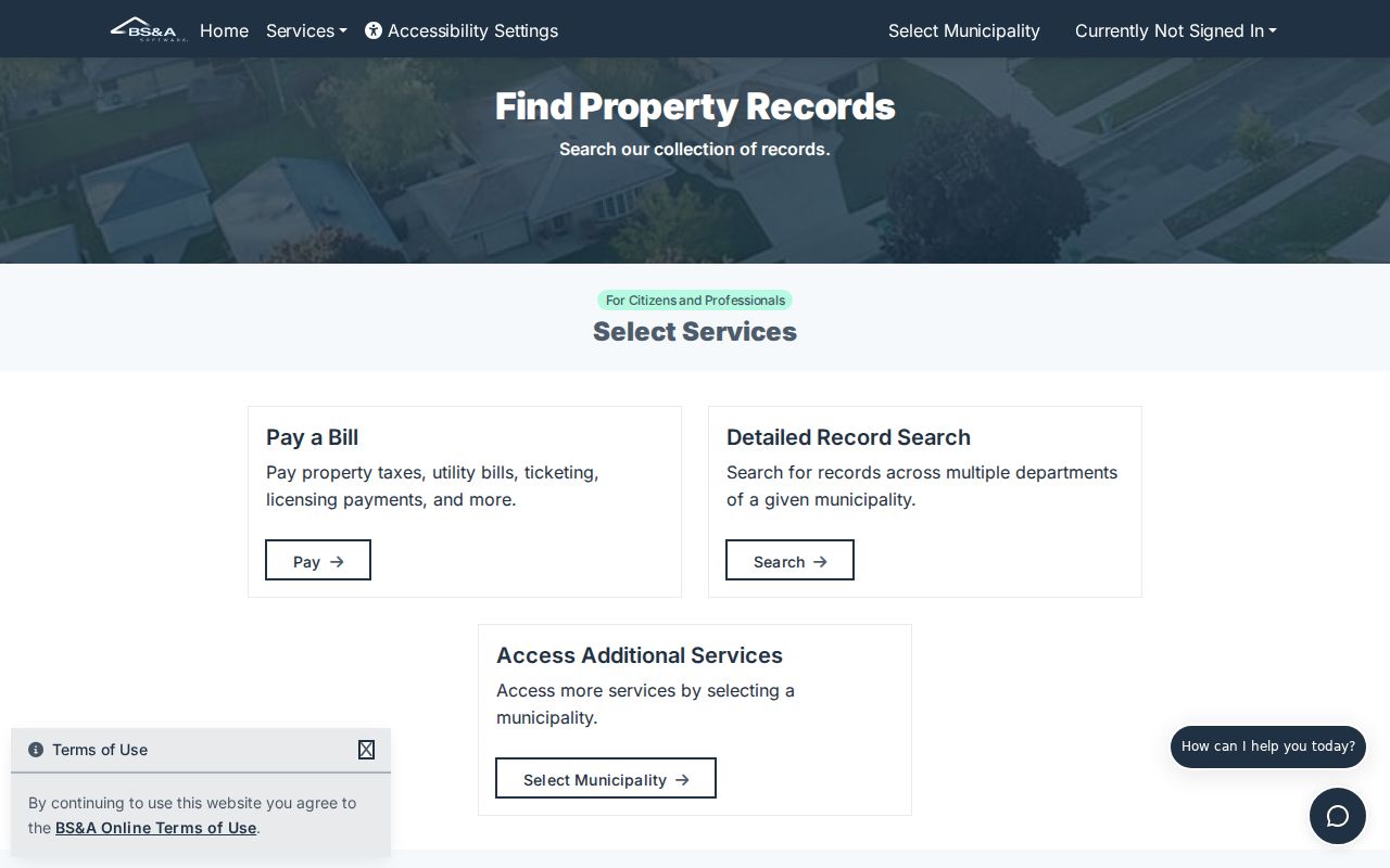
The BSA route supports a targeted follow-up after the parcel is known; it does not establish an unverified public permit-history search.
Genoa Township Code Enforcement provides the township-facing contact route for local code matters. Start with the parcel and property address when asking which public record can be released.
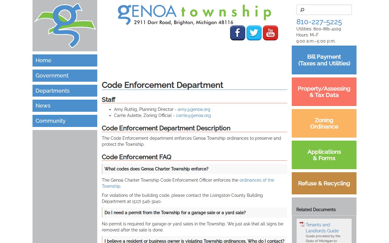
Code-enforcement and zoning information can place a property event in context without turning a code file into a claim about current residents.
Genoa Township Street Registration Limits
Michigan Voter Information Center is designed for a person’s registration and election information, not a public Genoa Township road browser. No verified county web search lists voters by street. A full Qualified Voter File request can specify jurisdiction and fields, but the requester must follow Secretary of State delivery and use rules, and the local clerk can explain an election-record request.
Some registration fields may be available in a lawful request, including name, residence or mailing address where available, year of birth, registration date, status, voter ID, and history. Michigan law redacts driver or state ID numbers, month and day of birth, phone, email, QVF username, refusal information, digitized signature, and the last four digits of a Social Security number. Protected-address applications are not produced. Ballot choices are not public.
For an address question, use registration material only after the parcel and jurisdiction are already clear. A tax mailing address remains a tax correspondence field, while a registration address follows a different legal process.
Genoa Township Street History Clues
Older Genoa Township streets do not always map cleanly to today’s number. Land was purchased from the United States in 1830, and early records use survey, patent, township, range, section, land-contract, plat, church, cemetery, and county deed language. Livingston County’s survey framework has 16 townships with 36 sections each, while older measurements can use chains, rods, links, and lots. Plats help translate that language into current parcel context.
Genoa Township history also records that I-96 construction in 1962 condemned eight parcels and divided 43.9 acres. That documented change is a reason an old farm or road-frontage reference may not line up with a current address. No official Genoa street-renaming, renumbering, or annexation bridge was verified, so do not assign an unsourced conversion year to a historic road name.
For historic people or property context, county directories, the 1875, 1895, and 1915 atlas references, newspapers, cemetery material, probate, and deed books can supply different parts of the trail. The Genoa Township city directories collection is the more focused route for confirming what local directory and telephone-book holdings are available.
Note: Preserve the original post office and legal description when comparing a historic road reference with a present parcel.
Genoa Township Street Mailing Myth
MYTH. A tax mailing address proves a person lives at the Genoa Township property. It does not. The property system’s mailing field tells the county where tax correspondence is directed. It may lead to another residence, an agent, a lender, an estate, or a business. The situs address identifies the land, but even that does not create a list of every household member.
Genoa Township also commonly uses Brighton 48116 or 48114 and sometimes Howell 48843 mailing labels. A postal city on an envelope does not put a parcel inside the City of Brighton or City of Howell. Confirm township jurisdiction with the county parcel and GIS fields, then use USPS only to verify delivery for the exact street number.
Genoa Township Street Directory Limits
A Genoa Township street directory cannot show private household information merely because a parcel is public. Renters and other occupants are not standard parcel-card fields. Utility customers, delivery accounts, and motor-vehicle addresses are not public street sources. A recorded owner or tax recipient can have no present connection to who occupies a house. Courts, vital records, and protected family matters also carry their own restrictions.
Michigan’s Address Confidentiality Program provides eligible people at risk with a designated address and mail-forwarding protection. It is a safety control, not a puzzle to solve. County and state records may also redact protected fields. If a government record needs correction, contact the named custodian rather than publishing an unverified alternative.
Lawful use. Use Genoa Township address records for lawful personal research, property history, family questions, or civic context. Do not use them to stalk, harass, intimidate, or attempt to discover a protected address.